Noordereiland
In the middle of the Nieuwe Maas is a historic island, which is connected to the rest of the city by bridges. The Noordereiland is primarily a residential area, with a striking number of residents working in the art sector. Hence the nickname Montmartre on the Maas.
History:
The Noordereiland owes its name to the Noorderhaven (today Koningshaven) which was excavated in the 19th century. As a result, the district was separated from the former island of Feijenoord. In the last ten years of the twentieth century, Noordereiland was characterized by great activity. With the relocation of the port activity to the Botlek, Europoort and Maasvlakte, it has mainly become a residential area. Contrary to the activity that until a few decades ago determined the image of Noordereiland, today it is mainly a residential area.
Residents of the Noordereiland:
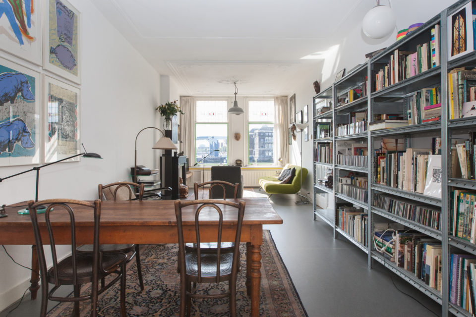
The Noordereiland is a unique neighborhood; the island is characterized by many old, stately buildings with large inner areas. The district has since 2005 the status of protected cityscape. The island has about 3,200 inhabitants and is therefore one of the smaller areas of Rotterdam in terms of population. Relatively many residents work in the art and culture sector.
What is there to do?
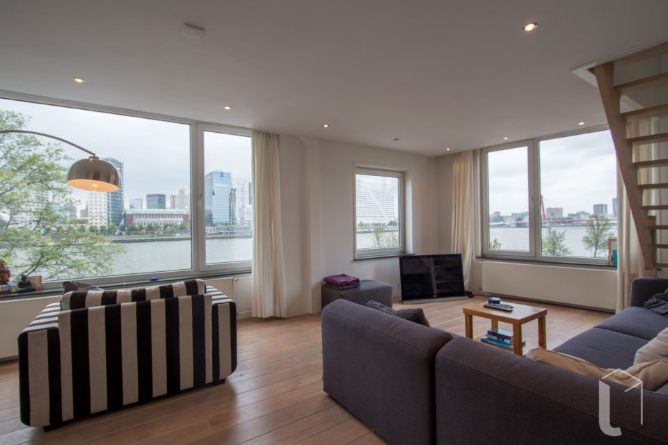
The North Island is ideal for a nice walk (jogging is also possible) along the waterfront. The view over the water and the skyline of Rotterdam is phenomenal. The Willemsbrug connects the Noordereiland with the Center. The high bridge with the asymmetrical pylons is the famous Erasmus bridge. The Koningshaven Bridge, better known as De Hef, is no longer in use, but remembers as a monument to the Breda-Rotterdam railway line that once ran here. In the summer months pop up fish restaurant A La Plancha, which annually lands on the old burghead of the Willemsbrug, attracts many Rotterdammers to the North Island.
Homes in Noordereiland
Sleephellingstraat
€1600